Bornholm is one of Denmark's most popular hiking destinations — and for good reason. A 120-kilometre coastal path loops right around the island, from the finest sandy beaches in the south to the granite cliffs of the north. Add a wild inland trail across the island's heart and you have some of the best walking in the Baltic. Here are all the stages with distances, difficulty and highlights — plus the practical tips on shelters, buses and the best time to go.
coastal loop around the island
stages, each a day walk
inland trail across the island
The coastal path Kyststien is Bornholm's most famous trail: roughly 120 kilometres follow the entire shoreline around the island. The route links the white sandy beaches of the south with the rugged granite cliffs of the north, quiet forest sections with lively fishing harbours.
The whole way is marked with orange signs featuring a white hiker symbol. The official start and finish is Rønne, but you can join at any town along the route. Allow 7 to 10 days for the full loop with time to explore; seasoned hikers manage it in 5 to 6. Each of the seven stages also works beautifully as a standalone day hike.
We describe the loop clockwise from Rønne. Each stage stands alone — walk one and ride the bus back.
A gentle start straight from the ferry port. Past Antoinette Beach, through the Blykobbe plantation and the lunar landscape of the Kultippen coal tip to the smokehouse at Hasle. Mostly flat, on asphalt, forest track and a little beach.
One of the most beautiful stages. Through the villages of Helligpeder and Teglkås to the cliffs of Jons Kapel (around 150 steps lead down to the legendary cave), on to the Hammershus ruins and across the bare rock of Hammeren.
Along the rocky north coast via Allinge, Sandkås and Tejn. Through the Døndalen valley with Denmark's highest waterfall to the Helligdomsklipperne — dramatic sea cliffs riddled with caves, crowned by the art museum. The stretch into Gudhjem is a highlight.
From Melsted, rock paths and forest trails alternate. Watch for the sign to Randkløve Skår — a crevice only about two metres wide but 14 metres deep. This 'Cobra trail' is a well-kept walking gem. The destination is Svaneke, voted Denmark's prettiest small town.
Past the Hullehavn bathing spot, through revitalised Årsdale with its windmill to Nexø, Bornholm's second-largest town. Then the white sand begins: across child-friendly Balka Beach to the fishing village of Snogebæk.
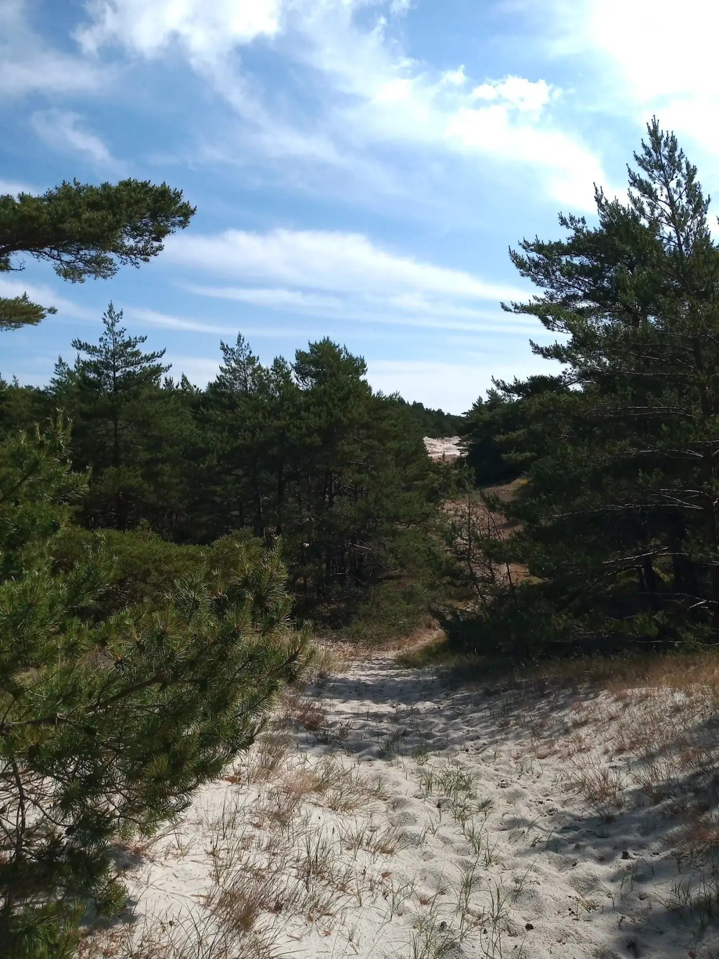
The south shows off its finest sand. Through pine forest and over shifting dunes to famous Dueodde — powder-fine sand once used in hourglasses, beneath the tallest lighthouse in Northern Europe. Loose sand makes this stretch more demanding.
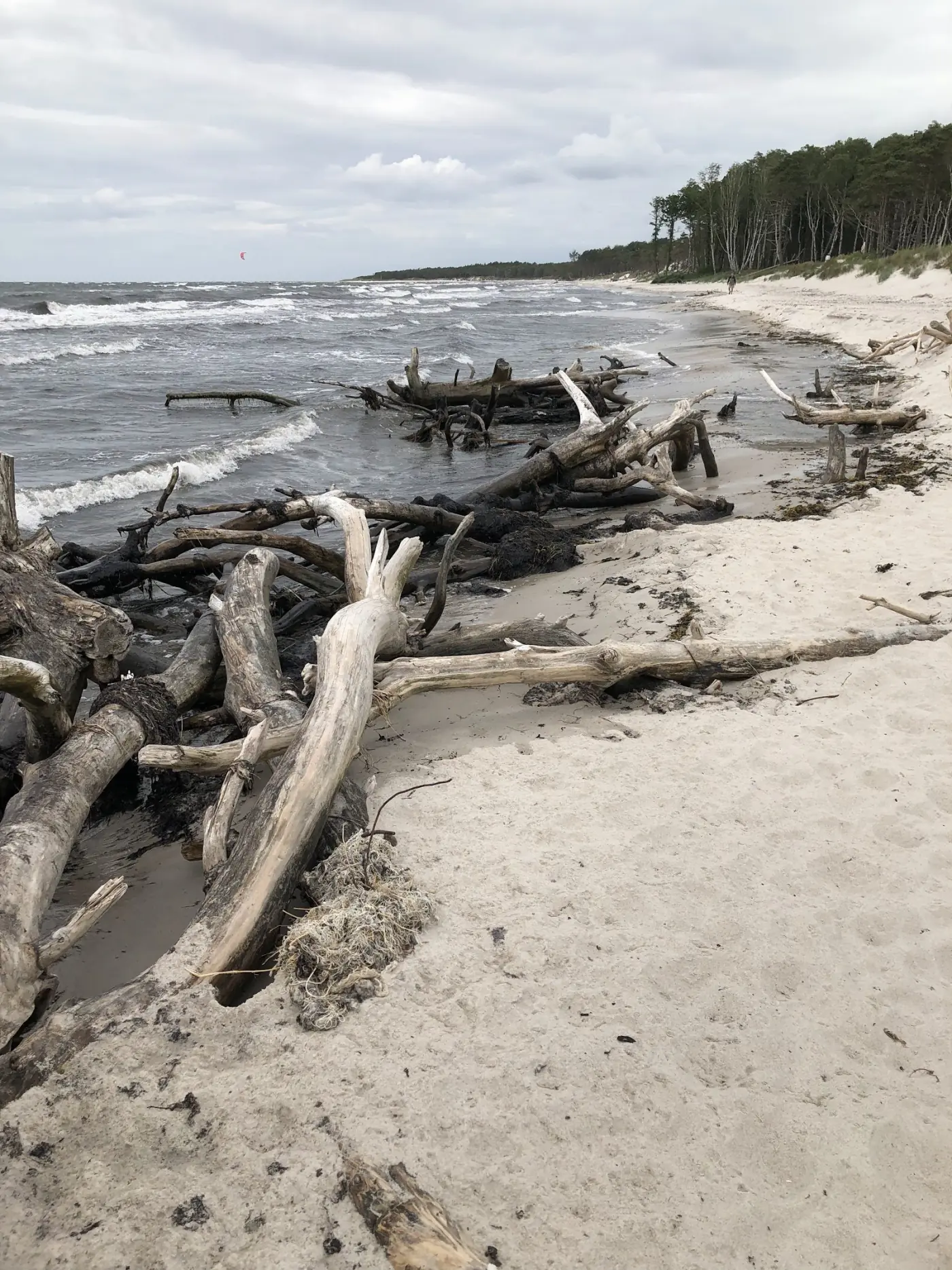
The final stage closes the loop. Over pebble beach and many steps up and down the coastal slopes to Arnager, home to Northern Europe's longest wooden bridge over open sea (about 200 m). Then around the airport and through pine forest back to the capital, Rønne.
Together the seven stages add up to roughly 120 kilometres. The southern stages 6 and 7 and the town walks are flat and easy; the northern stages 2 to 4 are rocky and steeper — ankle-high boots pay off here.
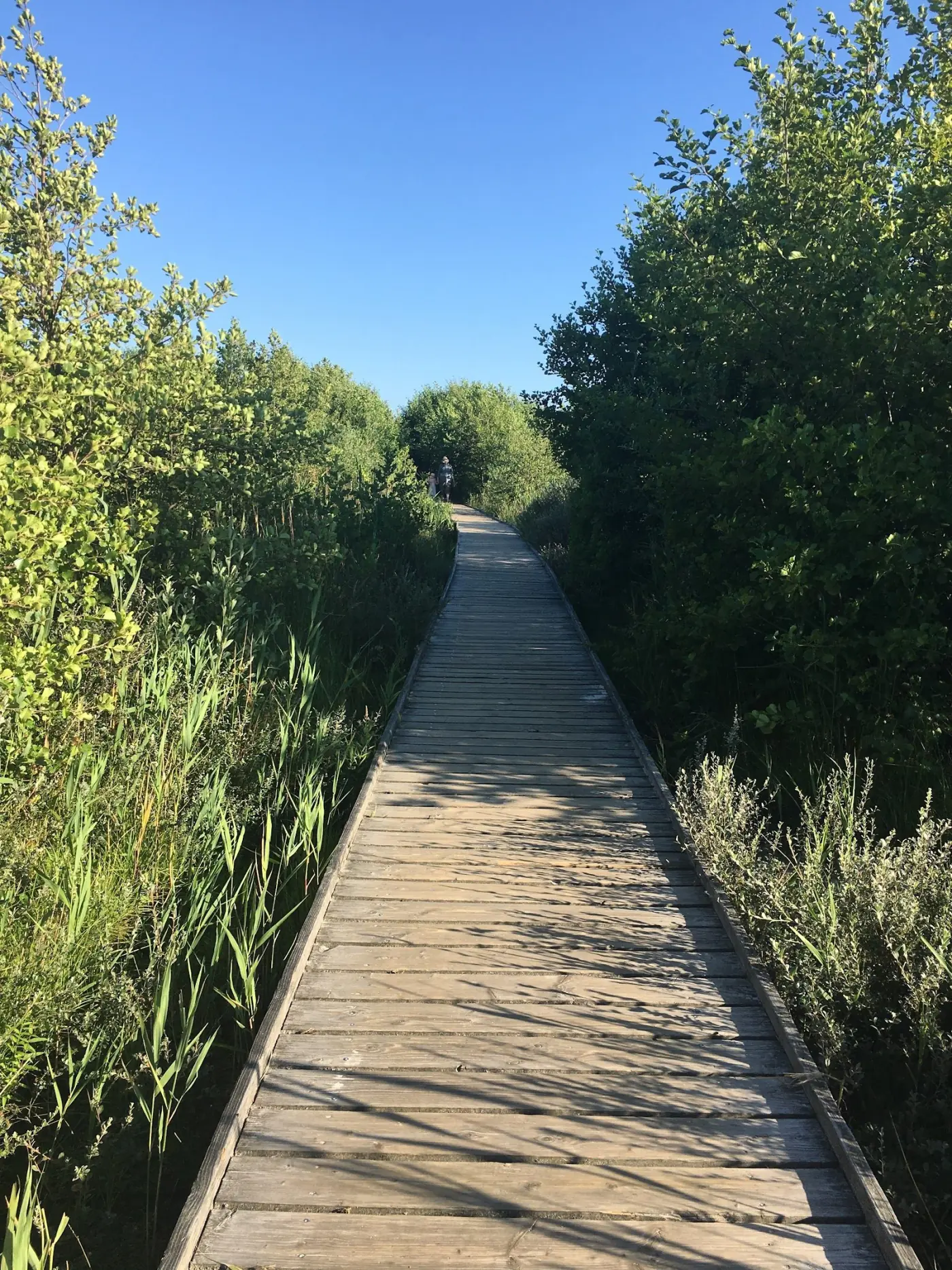
For the loneliest side of Bornholm, walk the Højlyngsstien: a 67-kilometre marked trail straight across the island, opened in September 2020 and fondly called 'Bornholm's Camino'. It runs from the rocky coast at Sandvig through the interior to Årsdale in the south-east, meeting the Kyststien at both ends — so the two can be combined into one grand loop.
The trail crosses Almindingen, Denmark's fifth-largest forest, including the enclosure of free-roaming European bison in the Bisonskoven. It passes Bornholm's highest point, Rytterknægten (162 m) with its Kongemindet lookout tower, the echo valley of Ekkodalen, and the wild Paradisbakkerne with its 35-tonne Rokkesten rocking stone. Accommodation is sparser here — but there are shelters and free tent sites, and the towns are a short bus ride away.
Northern Europe's largest castle ruin crowns stage 2 — 800 years of history high above the sea, free to visit year-round.
Sea cliffs up to 22 metres high, riddled with caves, on the north coast — with the Bornholm art museum above. The descent to the Sorte Gryde cave is worth it.
A narrow, deep rock crevice on the east coast — the spectacular 'Cobra trail' on stage 4.
The island's most famous beach, with powder-fine sand and the tallest lighthouse in Northern Europe.
A legend-steeped clifftop cave, reached down around 150 steps to the sea.
Inland: Bornholm's longest rift valley and Denmark's only herd of free-roaming European bison.
Not every walk on Bornholm calls for sturdy boots. The flat southern stages 6 and 7 and the town walks in Rønne (4.8 km) and Nexø (4.2 km) are ideal for a relaxed first day.
A particularly rewarding family tip is the forest paths in Almindingen: easy going, with a chance to spot bison along the way. The rocky northern stages 2 and 3, by contrast, are less suited to small children.
May to September is ideal — long days and 17 to 22 °C in summer. Spring and autumn bring fewer crowds and lovely colours. In winter the trails are walkable, but rocky sections get slippery.
Along the Kyststien you'll find campsites, hostels, free shelters and simple tent pitches roughly every 10 to 20 kilometres. Book ahead in high season. Prefer a bed? The fishing villages have B&Bs and hotels.
The local BAT buses connect all the larger towns — perfect for returning to base after a stage. Timetables at bat.dk or rejseplanen.dk.
For rocky sections (stages 2–4, Hammeren, Paradisbakkerne) wear ankle-high boots with good grip. For southern stages and town walks, comfortable trainers are enough. Granite is slippery after rain. Always carry wind and rain protection, water and snacks.
From Copenhagen, the fastest route is the ferry from Køge to Rønne, or from Ystad in Sweden; travellers from Germany sail from Sassnitz direct to Rønne — and the Kyststien begins almost at the ferry berth. Compare times and prices for your route at your leisure.
The Kyststien is around 120 kilometres long and loops right around the island. It is officially divided into seven stages; allow 7 to 10 days for the full loop with time to explore, or 5 to 6 days for seasoned hikers.
Seven stages: Rønne–Hasle (11 km), Hasle–Sandvig (18 km), Sandvig–Gudhjem (16 km), Gudhjem–Svaneke (17 km), Svaneke–Snogebæk (17 km), Snogebæk–Boderne (20 km) and Boderne–Rønne (19.7 km). Each can be walked on its own as a day hike.
The Kyststien and Højlyngsstien are marked with orange signs featuring a white hiker symbol. Trails in Almindingen and Paradisbakkerne use coloured dots on the trees. The marking is usually good enough to walk without a map — though you should still stay alert.
May to September is ideal, with long days and 17 to 22 °C in summer. Spring and autumn are quieter and colourful. In winter the trails are walkable, but rocky passages are slippery.
Yes. Along the trail there are campsites, hostels, free shelters and simple tent pitches roughly every 10 to 20 kilometres. Book ahead in high season.
The local BAT buses connect all the larger towns on Bornholm, so you can easily return to base after a single stage, or ride to the start of the next one. Timetables: bat.dk.
The Højlyngsstien is a 67-kilometre inland trail across the island's interior, opened in 2020. It runs from Sandvig in the north through Almindingen — Denmark's fifth-largest forest, home to free-roaming bison — to Årsdale in the south-east, linking with the Kyststien at both ends.
The flat southern stages (6 and 7) and the town walks in Rønne and Nexø are easy and family-friendly. The rocky northern stages (2 and 3) are steeper and less suited to small children. The forest paths in Almindingen are a good compromise — with a chance of bison.
From Germany, the ferry from Sassnitz direct to Rønne is fastest — the Kyststien starts almost at the berth. Alternatively via Ystad (Sweden) or Køge near Copenhagen. Best to compare times and prices in advance.
Plan your crossing, find a bed near the coast and lace up your boots — the island rewards every step.